Hiking at Mt. Tamalpais
Solo Hiking Gone Wrong??
How It Began
Last week had a long weekend - with Juneteenth being on a Friday, we got three days off instead of the normal two. Normally, this would be great! … but none of my friends would respond to me about making plans. I had another volleyball tournament on Saturday, so I couldn’t go camping, leaving me bored on Friday.
Reasonably, I decided to drive two hours to go to Mt. Tamalpais to try a trail there. Specifically, the Dipsea to Steep Ravine Loop. I started the drive around 2:30pm, which should’ve meant I would be hiking from 4:30 to 6:30, but life had other plans.
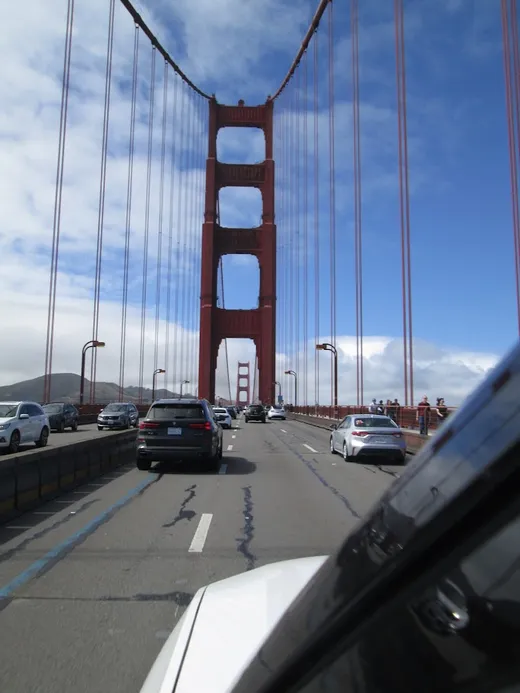
The drive there was relatively boring and slow until I hit the Golden Gate Bridge. I’ve only crossed it a few times, but I love it all the same. It’s so fun to roll down the windows and just take in the fog and the view. What was even better, though, was when I started going up the mountain. It was thirty minutes of windy roads, with fog covering everything and trees slowly beginning to emerge.
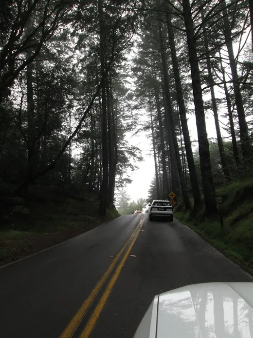
The Beginning
The parking lot for the trailhead/campground was bigger than I expected, but smaller than needed. It took me a while to wait out a couple in their car until I could park, but it was worth it. I didn’t want to park farther away and have to walk just to start.
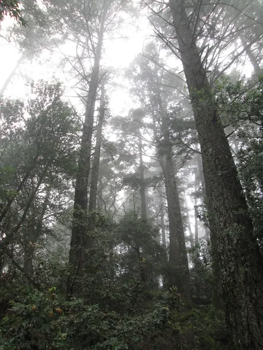
The trail itself began in a sparse forest that was filled with fog. It was breathtaking to see. Not even five minutes in, I passed a bridge. Of course I had to take some photos there. My camera (Canon Powershot A3400) is small but “mighty”, but it still needs solid ground for photos. I put it on the railing and went to town, getting a few different shots - with this one being my favorite (I didn’t realize my pack was visible on the bridge :P).
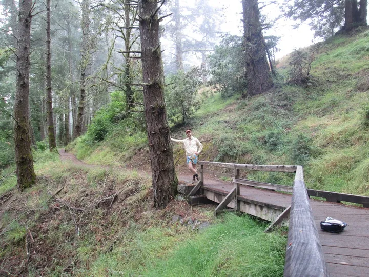
Also balancing on the bridge, I got a nice photo of myself walking on the trail. I love the aesthetic of these kind of ‘real’ photos, but they’re hard to capture solo without a tripod. I’m looking into buying a small, lightweight stand for my camera for the future.
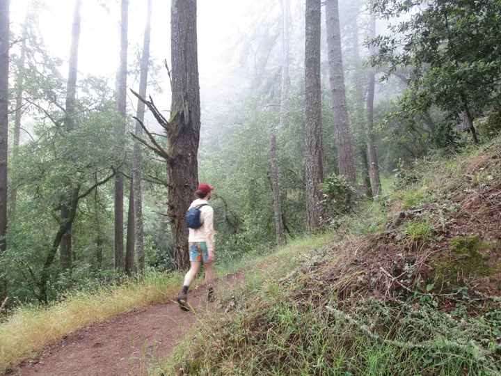
As I continued on the trail, I got past the trees and into the open air. Here, it was just small shrubbery and fog. Lots and lots of fog. There were a few different groups of people here, but you couldn’t see or hear them until you were on top of each other, it was pretty creepy. Sadly, this is where the Solo Hike went wrong. I, in my infinite wisdom, ran for a second trying to get a photo. I, with my weak ankles, did not look down. I, the dumb Spencer, rolled my ankle.
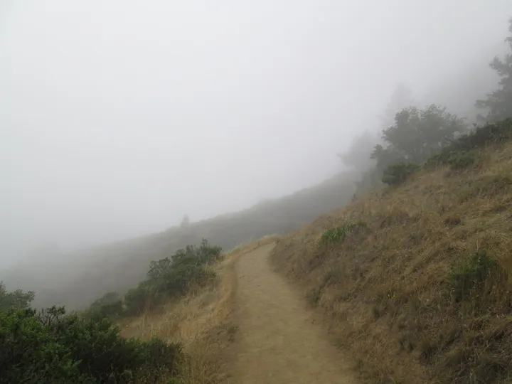
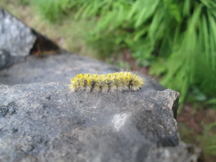
My ankle was fine after a few minutes of rest, but it was really scary for a second. I was still less than a mile into the trail, but I didn’t know how bad the sprain was going to be until I rested for a while. Luckily it all worked out. I kept going on the trail after a while and got this cool shot of the fog overtaking everything. Then I found a caterpillar! It was really fuzzy and spiky, which was kind of scary. Aren’t those caterpillars the dangerous ones?
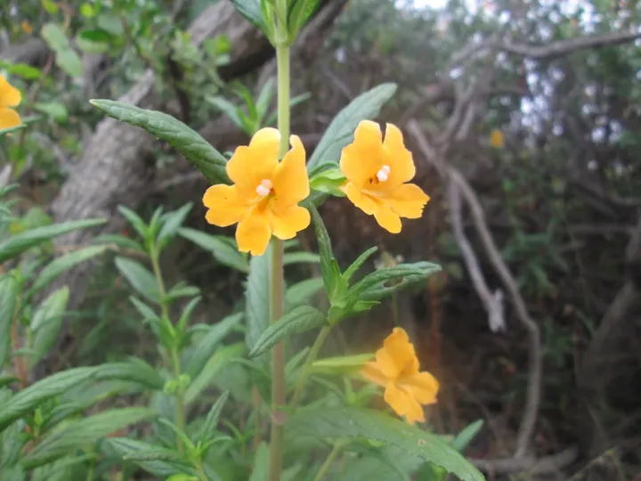
After the pretty caterpillar, I continued through the fog onto a few bushes of flowers! These were beautiful little orange flowers. I now know that they’re Diplacus aurantiacus, also known as the orange bush monkey-flower. It’s an important host plant for the larvae of the common buckeye butterfly, so it’s great for the environment! They thrive in many different climates - wet, dry, sandy, rocky. They’re all over Oregon and Northern California. (Guys I was almost an environmental scientist, let me live)
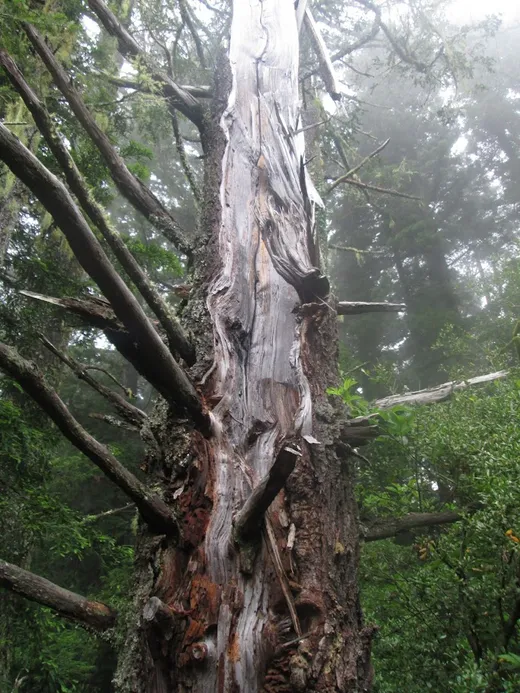
The ending of the mostly flat section was here, marked by a cool dead tree. Up next was the steep downhill, which was the first real test for my ankle.
The Downhill
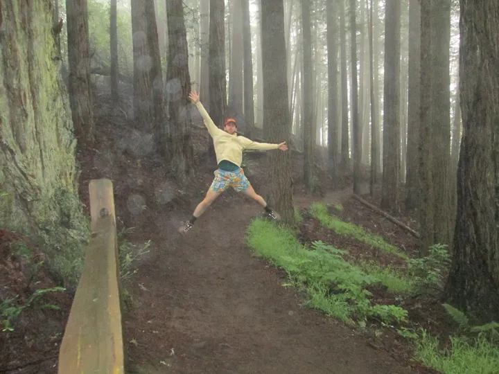
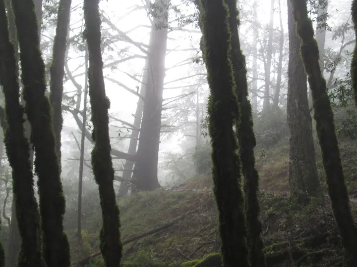
This was the start of the downhill section of the climb. It began in an eerie forest - suddenly the trail itself was covered in fog and there were no more sounds to be heard. There was no shrubbery or any wildlife to be seen either. The quiet became unnerving in this section. Somewhere in the middle of the eerie forest, was a random wooden fence. This, like the bridges, was a great spot for me to take some more photos.
After the photos, though, I thought I saw a bear, and started hobbling faster. I did not want to spend more time than I had to in that fog.
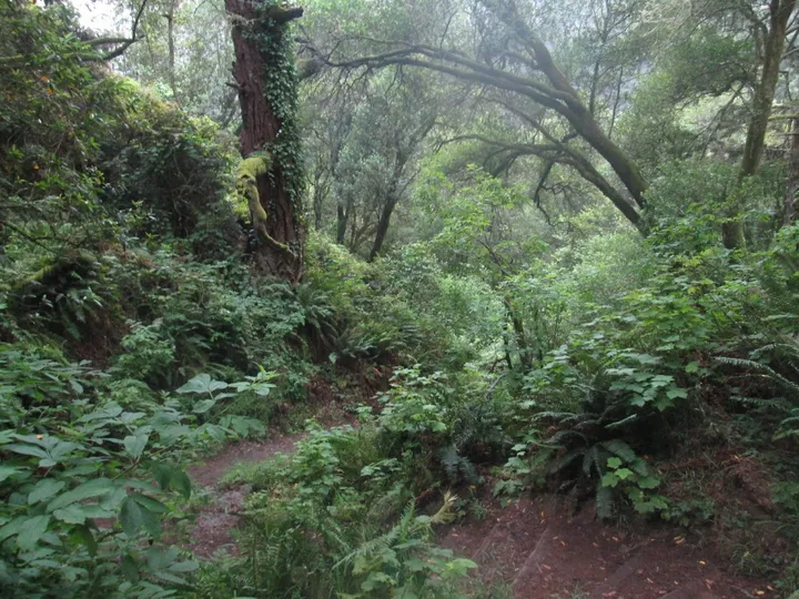
When I got back into the denser forest, the trail began to be overgrown - with ferns taking over parts of the path. Here I also started to see more people, though they all were going the opposite direction. I went the way that AllTrails told me, but I think that’s the wrong way, I was always going against the flow of people. Around here, I ran into a group of ten or so high school boys. They were all shirtless carrying school backpacks, not hiking ones, and were blasting music. I could hear them from so far away, it was a real nuisance (this becomes a theme). After we finally intercepted each other, it was only another minute or two to the bottom of the trail.
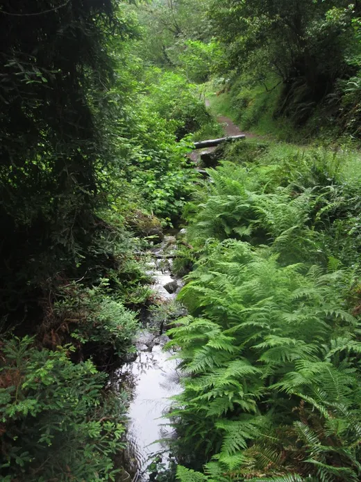
After crossing a small bridge over an even smaller river, my trail T-boned into another trail. Apparently this one went to the sea in one direction and back to the parking lot in the other. I stopped to take some pictures near the riverbed, and four different groups passed me. Three were heading in the direction I came from, but one, a group of two girls, was heading in the same direction as me. Same as the high school kids before, these two were blasting music and yapping so loudly. I tried to give them a few minute head start but they were going really slowly, so I kept hearing them.
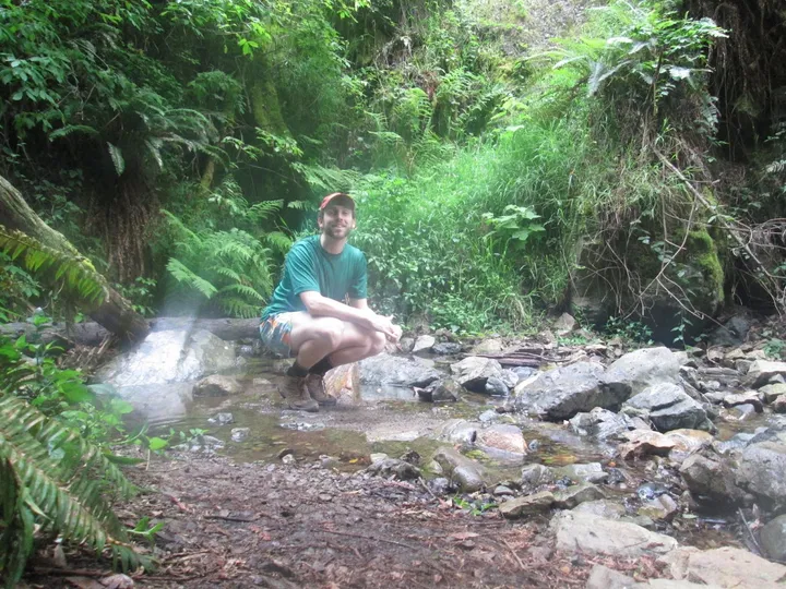
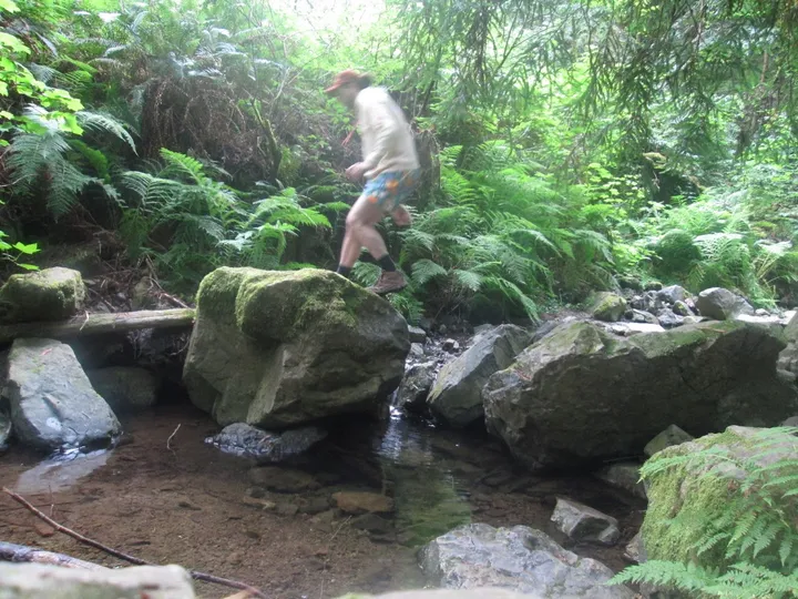
I passed the girls for the first time pretty quickly. But I thought they’d catch up to me quickly, so I stopped at the riverside again to take more pictures. They did not catch up quickly. I got this cool one of me jumping, though! But yeah, I let girls pass again, and this time I gave them nearly ten minutes.
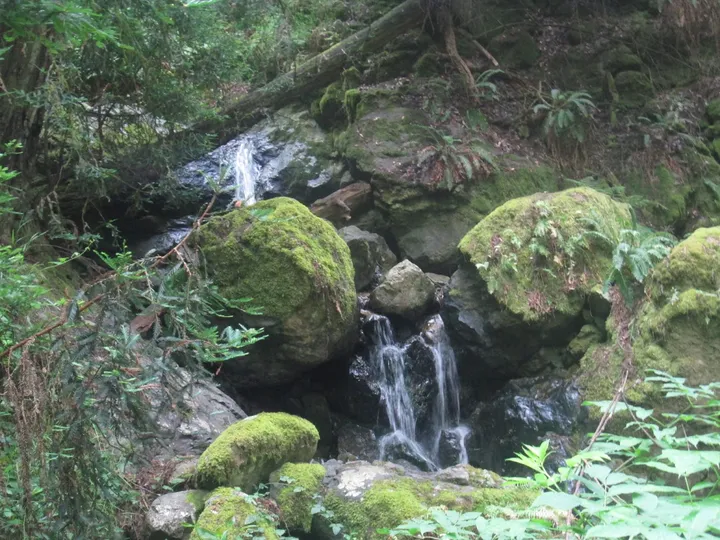
There was a cool little waterfall right next to where I was waiting as well :).
The Uphill
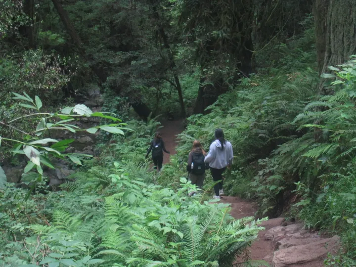
Technically the uphill started when the trails converged, but it was a really light uphill section. This is where it got steep. I was trudging along, all by my lonesome, when I noticed a group of three girls coming towards me. Lo and behold, it was my friend Kate! We had interned together at Rivian in my last summer, but she’s from Toronto so I thought I’d never see her again. Apparently she was in the area visiting friends for the break, and we just happened to choose the same random trail at the same time. It was great to see her. As we split, I got a photo of her, she’s the one furthest away in all black.
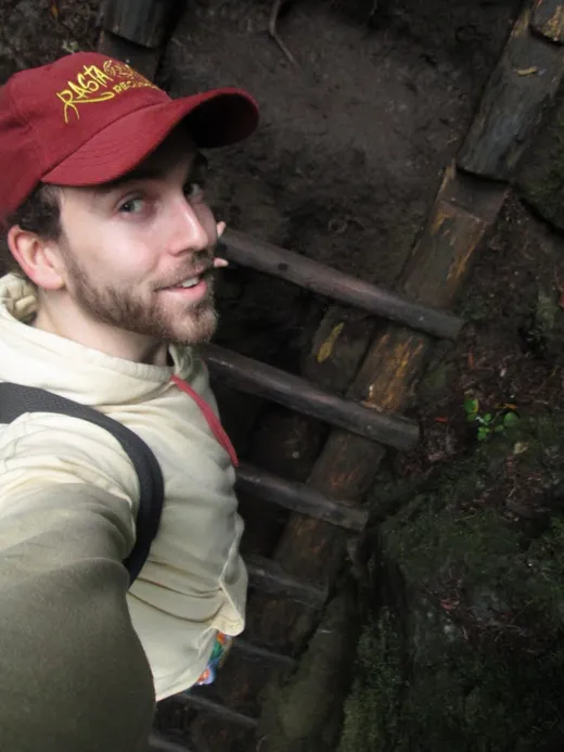
Right after I passed Kate, I found the annoying girls taking a water break, so of course I passed them again. This time, I wanted to stay ahead of them. To my inevitable hindrance, the famous ladder came up. This route has a ten foot ladder in the steepest part of it, where you climb up a rock face. However, part of it was broken so people were going slow. When I got there, there was already a group on it, and a group waiting to go down it. I had to go up, so I waited for these two groups. As I was waiting, my enemies arrived. And much to my surprise, they skipped me! They went up the ladder before me, so I said fuck it, and waited some more. Eventually I went on the ladder and took a selfie.
This led to the final section of the hike. It was really steep with a lot of switchbacks, so it was just grinding to get up. As we got closer and closer to the fog clouds, I could tell the end was near. My ankle ended up being okay, it was just pretty bruised afterwards. Hopefully it stays that way. It was a great hike that I’d love to do again, especially if I go the other direction, or go down to the beach and change it from ~4.5 miles to nearly seven miles.
Post-Hike
I was super hungry after the hike, so I made protein pasta with vegan sausage and arrabbiata sauce.

(After this I also ate a block of tofu 👀.)